Regions Of The Vale
The Vale of Fingers is divided into five recognised regions, each shaped by its own land and weather: Midvale at the fertile centre; Northvale beneath the cold of the Fingers; Caelond on the western coast, facing the Everfall Sea; Eastryn among the eastern forests, beneath Mount Tirhallow; and the Vaelmark along the war-scarred southern marches. Where they meet, on the southern shore of Hallowglass Lake, stands the capital, Crownhold.
Map of the Vale of Fingers
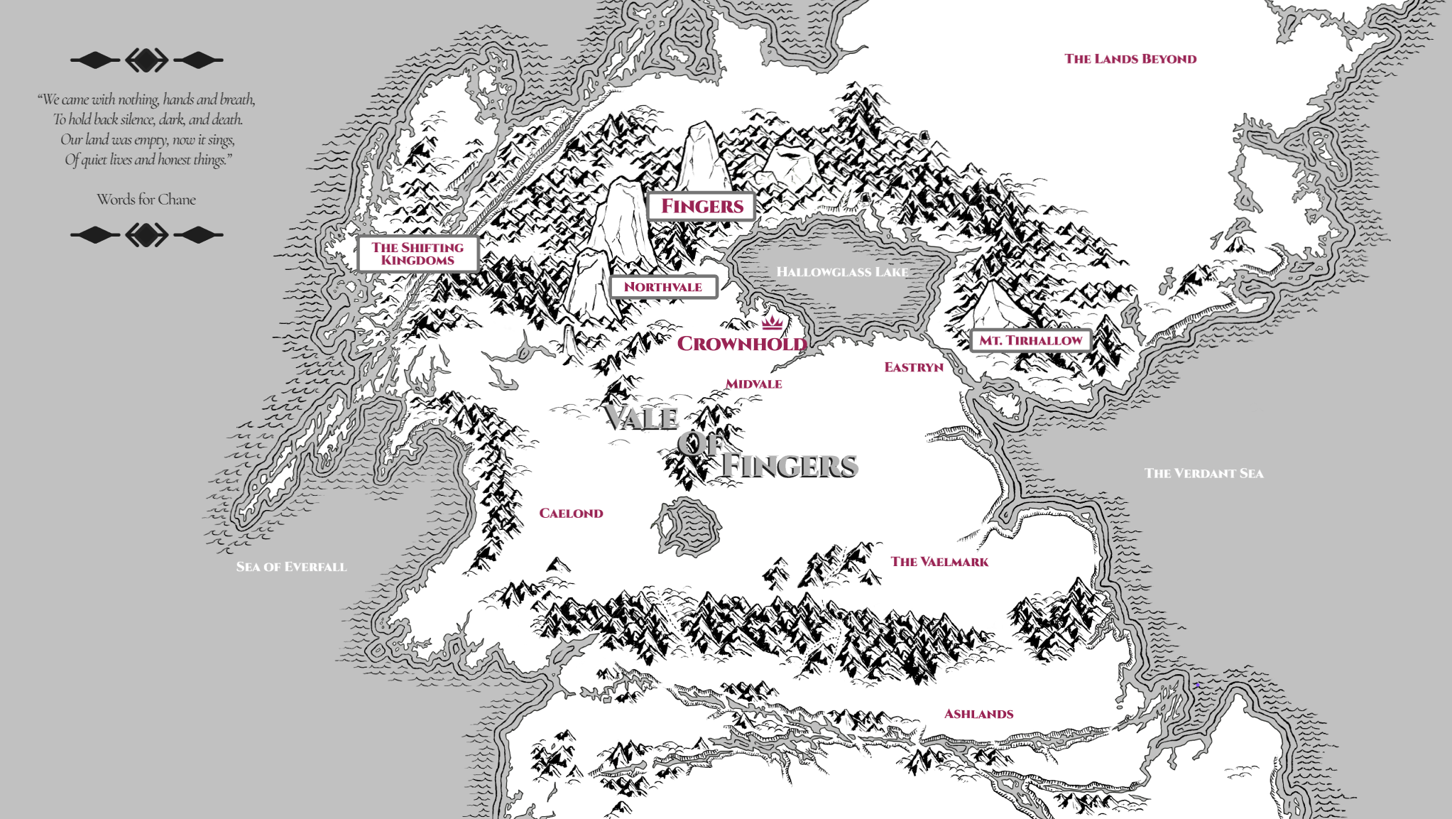
The Five Regions

Caelond
LocationCaelond lies along the western edge of the Vale of Fingers, where settled land meets the Everfall Sea. The region is def

Eastryn
LocationEastryn occupies the eastern reaches of the Vale of Fingers, where lowland rivers and wetlands give way to extensive for
Midvale
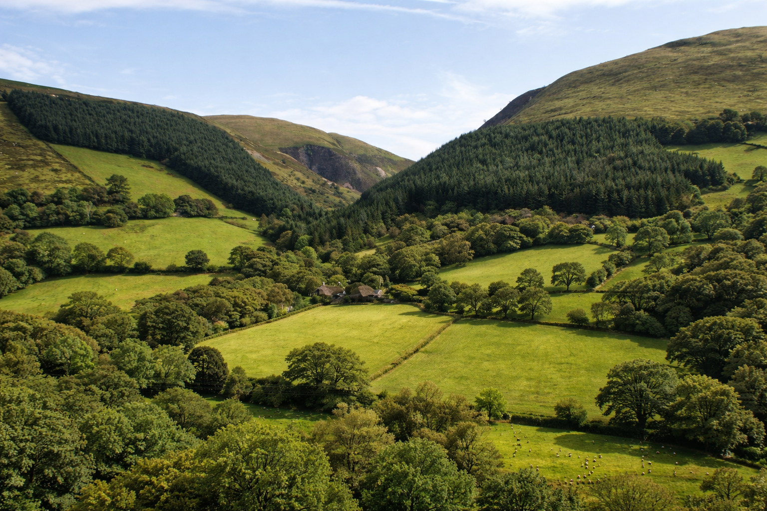
LocationMidvale occupies the worked centre of the Vale of Fingers. It is not distinguished by dramatic terrain or singular landm

Northvale
LocationNorthvale occupies the northern edge of the Vale of Fingers, where the land rises toward the mountains known as the Fing
The Fingers
LocationThe Fingers are the four great peaks that stand across the northern edge of the Vale, narrow and impossibly tall, set cl

The Vaelmark
LocationThe Vaelmark forms the southern edge of the Vale of Fingers, where settled land gives way to the Ashlands. It is the reg
The Capital
Crownhold
Crownhold is the capital of the Vale of Fingers. It stands on the southern shore of Hallowglass Lake, at the northernmost edge of Midvale, where lake traffic, road networks, and fertile hinterland converge. From this position, the city functions as the primary centre of administration, record, and coordination for the Vale as a whole.
The city is governed by the Concordate, a collective authority formed after the overthrow of the monarchy. The crown itself was not destroyed, but sealed away within the city, preserved as a reminder of the period that preceded shared rule. Crownhold takes its name from this act of restraint, and its political culture remains shaped by the decision to distribute authority rather than concentrate it.
Crownhold’s central districts predate the Sundering. Stonework, foundations, and street plans from that earlier period remain in use, forming a stable core around which later neighbourhoods were constructed. Much of the city’s outward growth reflects successive attempts to connect newer structures to this older centre without fully understanding its original design.
As the location of the Vale’s courts, archives, major temples, and administrative offices, Crownhold draws those whose work depends on institutional access. Its population is correspondingly multicultural, shaped by migration from every region of the Vale. While ancestry and patronage still matter, daily life within the city is organised around civic role and professional obligation rather than shared origin.